Spatial Data Import
RapidPlan 4.4 replaced the older separate KML, Shapefile, and CAD import workflows with a unified Spatial Data Import tool.
Use it when you want to preview spatial data over your plan before importing it.
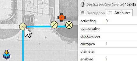
Supported provider types
The current Spatial Data Import workflow supports:
- ArcGIS Feature Service layers,
- CAD files:
DWG,DXF, - KML and KMZ files,
- ESRI Shapefiles:
SHP.
Multiple providers can be added to the same workflow, including several providers of the same type.
Start an import
You can start the workflow in any of these ways:
- Tools > Import > Spatial Data,
- the Add Import Provider action in the import window,
- drag and drop a supported file onto RapidPlan.
How the workflow works
- Add one or more providers.
- Preview their data over the current plan.
- Turn provider visibility on or off as needed.
- Click preview features to inspect available names, descriptions, or attributes.
- Import the data that is currently visible and enabled.
The preview updates as you pan and zoom, so you can focus on the area you actually want to bring into the plan.
ArcGIS imports
ArcGIS support is new in this workflow. You can:
- connect to an ArcGIS Feature Service URL,
- pick one or more layers from that service,
- preview geometry before importing,
- save useful ArcGIS sources as bookmarks for reuse.
If you need public sources to test with or explore, see Finding ArcGIS Feature Services.
CAD imports
CAD files are now handled in the same import interface as the GIS formats.
Key points:
DWGandDXFare supported,- layout and layer information can be reviewed before import,
- spatial reference can be supplied when needed,
- non-georeferenced CAD can still be useful on non-basemap plans.
Import georeferenced CAD
Before importing:
- open or create a RapidPlan plan with a location and basemap,
- confirm the coordinate system used by the source file. You may need its EPSG code,
- keep any accompanying
.prjfile in the same folder as the.dwgor.dxffile.
- Open Tools > Import > Spatial Data.
- Select Add Import Provider.
- Set Provider type to CAD, then open the
.dwgor.dxffile. - Review the file path and detected layer count.
- Set CAD Layout to Model.
- Select Use georeference.
- Select the displayed spatial reference to open GIS Data Spatial Reference Selection.
- Search for the required spatial reference by EPSG code and select it.
- Select or clear Invert Lat/Long as required by the coordinate system, then select Select.
- Select Add.
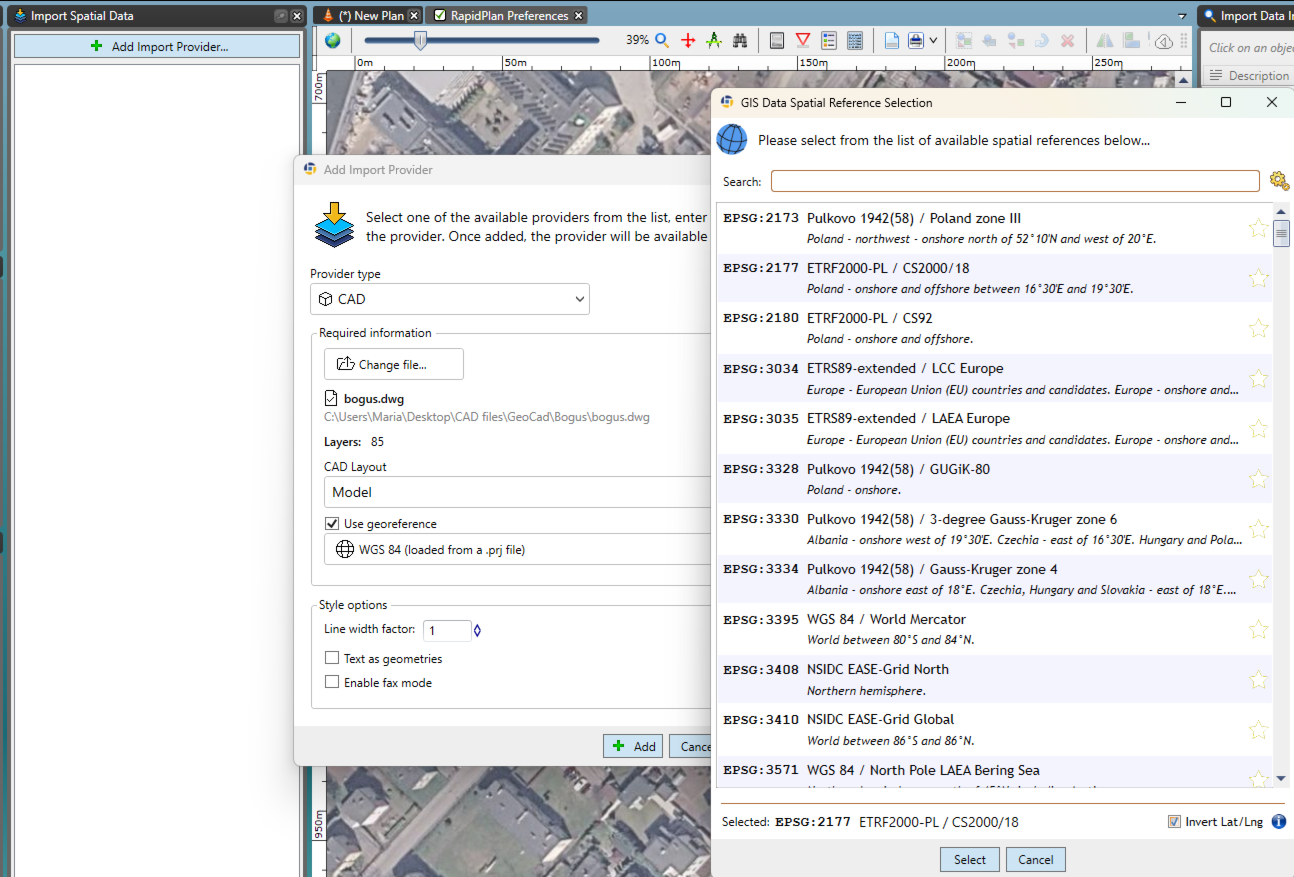
The CAD preview should appear at its mapped location. If it is outside the current view, select Scroll to the nearest visible feature in the Import Spatial Data window.

Select the features you need, then select Import Selected Data. Finish the import when the required geometry is on the plan.
For export settings and procedures, see Export georeferenced CAD.
KML and Shapefile imports
KML, KMZ, and Shapefile data are still supported, but they now use the same Spatial Data Import workflow instead of the legacy KML/Shapefile palette.
This makes it easier to:
- combine several datasets in one session,
- preview what will be imported,
- inspect attributes before import,
- work consistently across GIS and CAD sources.
What gets imported
Depending on the source data, RapidPlan can import:
- point data,
- lines and paths,
- polygons,
- styling where supported,
- feature attributes for supported sources.
Imported geometry can then be snapped to, edited, and used as the basis for further drawing.
Related tasks
- use Road import for OpenStreetMap road layouts,
- use Georeferenced image import for map images rather than vector data,
- use Integrated map providers if you first need to create or configure a base map plan.