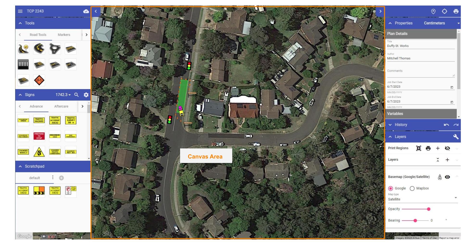
Canvas Area
The Canvas Area is where your traffic plan is created. When you open a new plan, a Google Maps (satellite view) of your worksite location is displayed on the canvas background. Changing the background (Map provider and view) is discussed later in this Chapter.
Another feature of the canvas area is the Canvas button, highlighted the image below.

Navigating the Canvas Area
Using a mouse and keyboard
To pan: Click and hold the scroll wheel on your mouse (middle button) down while it is over the canvas area. While it is held down you can move the mouse to pan. The same effect can also be achieved by holding spacebar down and dragging the mouse.
To zoom in or out: Simple use your mouse's scroll wheel while the mouse is over the Canvas Area. Notice that you will zoom in or out towards/away from wherever the mouse is located on the Canvas Area. This can be a quick way to not only zoom but also navigate across the mapped area.
For details on navigating the Canvas area using Mobile Devices, please visit the Mobile Devices section.